 |
Sunday, January 11, 2026 |
|
| Ihr Browser interpretiert leider kein JavaScript! | ||
|
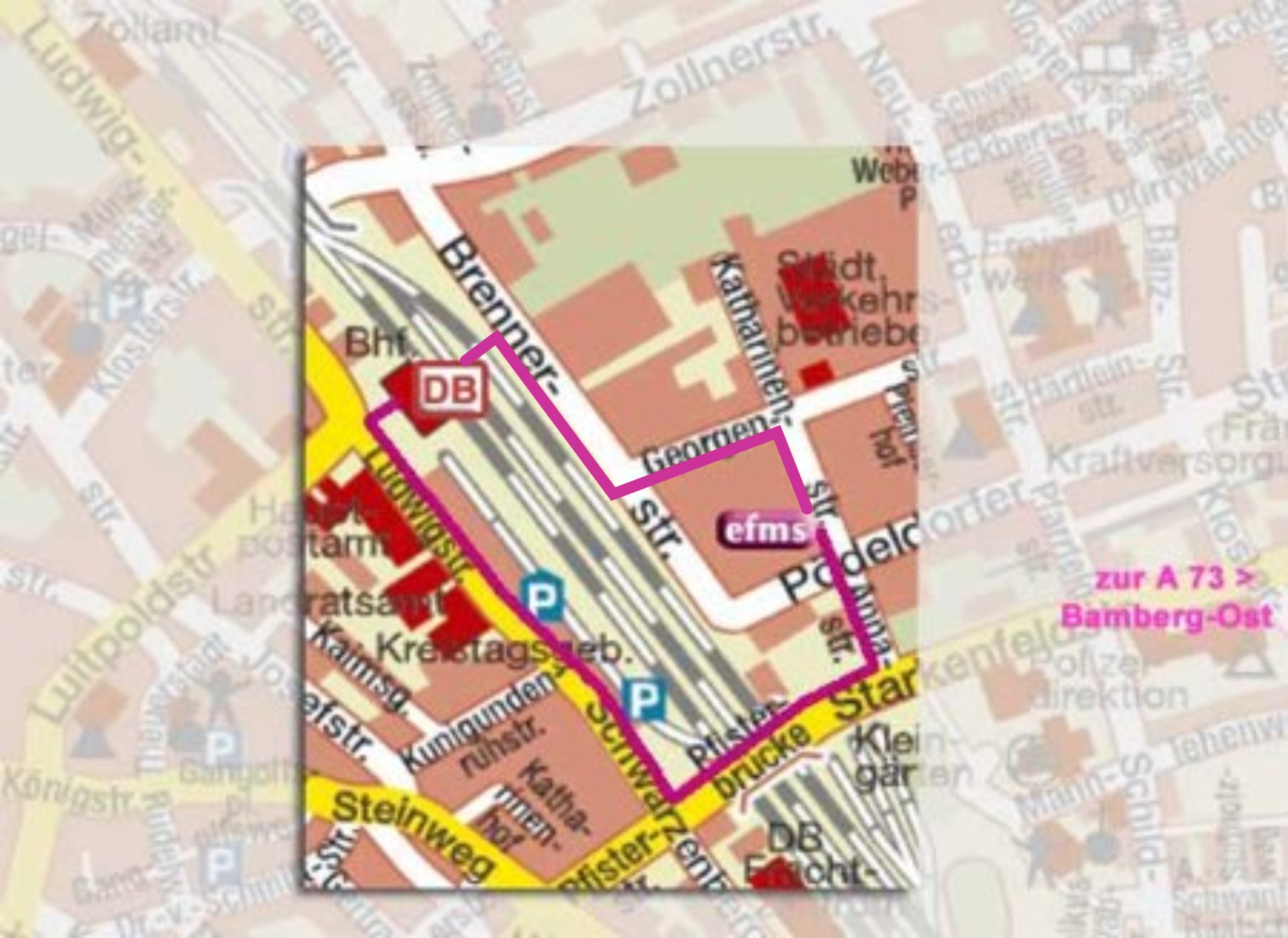
 © www.stadtplan.net / Verwaltungs-Verlag, 80993 München How To Get to the Institute in BambergPart of the street map of BambergThe Institute is situated east of the medieval town center of Information on public transport in BambergOn the right hand side in front of the station is the bus stop for line 2 to the stadium ("Stadion"). Katharinenstraße is the second stop. |
|
|
last update: 08.12.2022 | manages this page. | |||


